← Return to Fleet
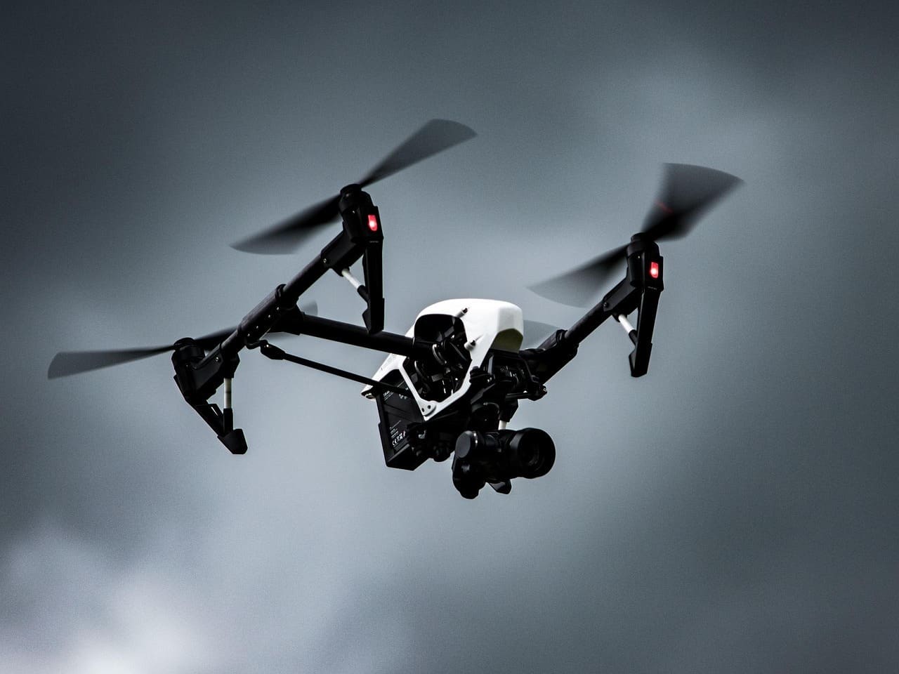
Mapping Drones
System Overview
Precision topographical scanning platform tuned for industrial and tactical mapping requirements.
Technical Highlights
Fitted with state-of-the-art sensory suites capable of reconstructing 3D environments in real-time.
Key Architecture & Features
- ⯁High-density point cloud generation
- ⯁Swappable payload bays
- ⯁Real-time kinetic positioning (RTK)
- ⯁Automated flight path generation
Operational Use Cases
Urban PlanningMining and Excavation VolumetricsPost-conflict assessment
Specifications
Max Range80km
Endurance3 hours
Payload Capacity5kg
Sensor TypeLiDAR / Photogrammetry
AccuracySub-centimeter